Water management at the scale of a river basin or a state is a continuous operational problem. Reservoirs need to balance storage and release, irrigation systems need predictable allocation, and flood risks must be managed with limited time.
Most of these decisions depend on fragmented data sources and manual coordination between departments. Vassar Labs built AquaWise to bring these pieces together into a single system that can be used for day-to-day decision-making.
AquaWise is designed for governments and water resource departments that manage reservoirs, canals, and river systems. It does not operate as a reporting tool that looks backward at data. Instead, it functions as a live operational system that combines current measurements with forecasts to guide actions in real time.
Origins
The origins of AquaWise are tied to the broader work of Vassar Labs in applying data science to public infrastructure. The company, founded by Sandeep Roy, focused early on sectors where decisions are complex and consequences are significant.
Water systems stood out because they involve multiple variables that interact in non-linear ways. Rainfall upstream affects reservoir inflows, storage decisions affect downstream availability, and both influence agriculture and urban supply.
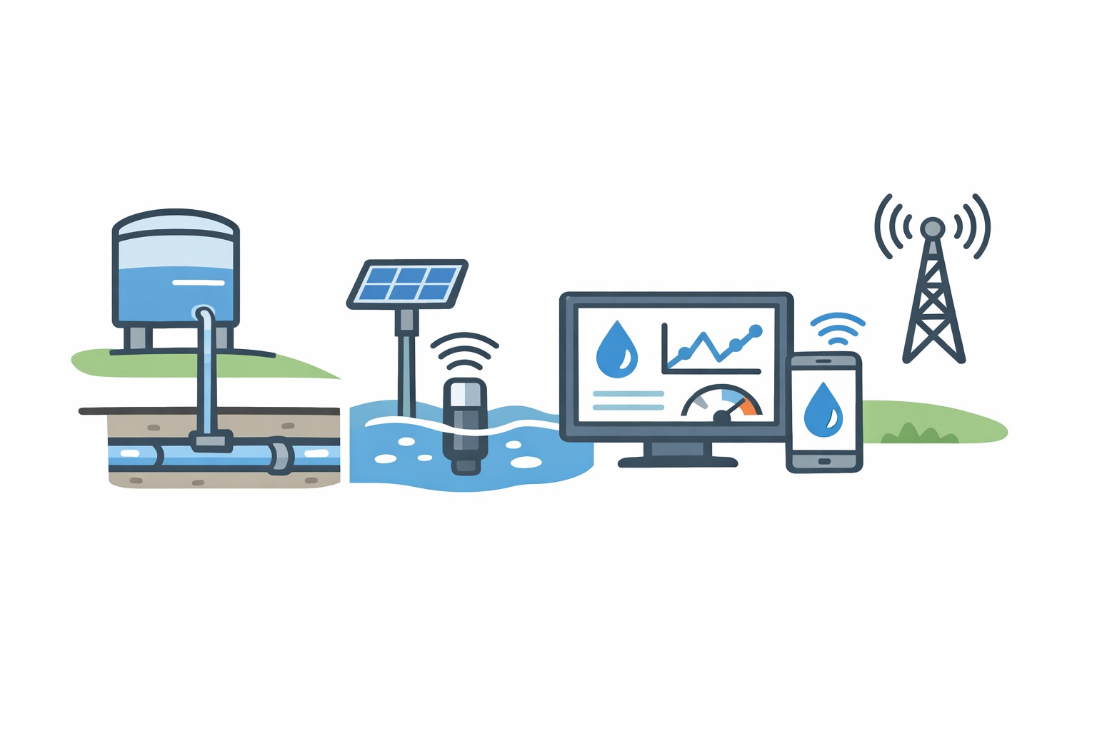
The initial deployments involved working closely with state governments to digitize and integrate water-related data. Reservoir levels, rainfall measurements, river flow data, and weather forecasts were often stored in separate systems or maintained manually. AquaWise was built to unify these inputs into a single platform.
Product
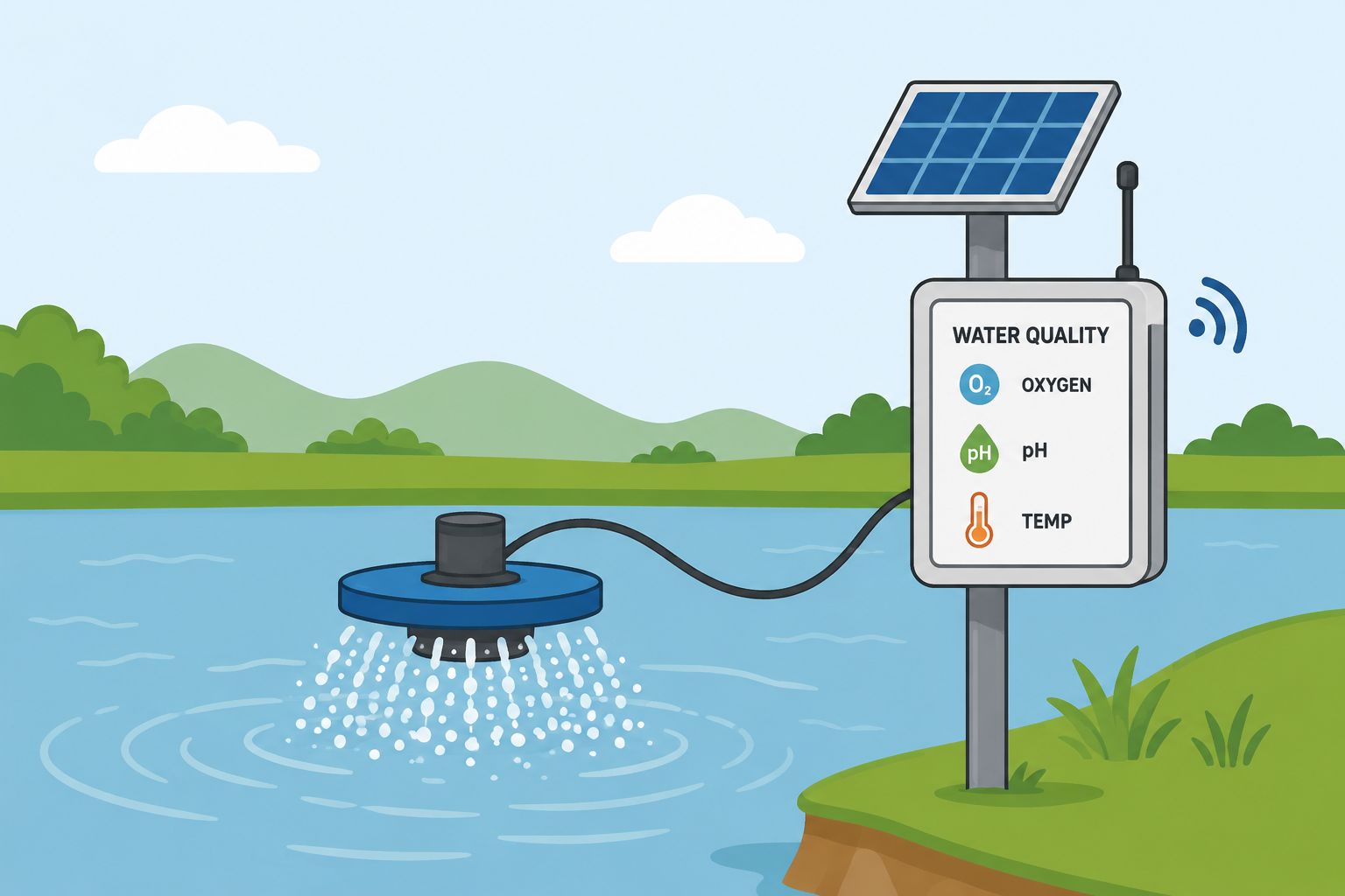
At its core, AquaWise ingests data continuously from multiple sources. Sensors installed in reservoirs and river systems provide real-time measurements of water levels and flows.
Weather data, including rainfall forecasts, is pulled from meteorological systems. In some cases, satellite data is also used to supplement ground measurements. This combination creates a dynamic picture of how water is moving through a system.
The platform then applies hydrological models to this data. These models are used to estimate how current conditions will evolve over time. For example, if heavy rainfall is predicted in a catchment area, the system can estimate how much water will flow into a reservoir and when it will arrive. This allows operators to make decisions in advance rather than reacting after levels have already risen.
One of the most critical decisions in reservoir management is when to release water. Releasing too early can lead to shortages later, while releasing too late can increase flood risk. AquaWise provides decision support by showing different scenarios based on forecast data. Operators can see how storage levels will change under different release strategies and choose the most appropriate course of action.
The system is designed to be used in control rooms where engineers and administrators monitor water systems. Instead of switching between multiple data sources, they can view all relevant information in one place. Dashboards present current conditions, forecasts, and alerts that highlight potential risks. This reduces the time required to interpret data and allows faster response during critical situations.
Deployment
AquaWise has been deployed in several state-level water management systems in India. Its impact is most visible during periods of extreme weather. During heavy rainfall events, the system helps anticipate inflows and manage releases in a coordinated way. During dry periods, it supports planning for water allocation across irrigation and urban use.
The value of the platform comes from its ability to reduce uncertainty. Water systems are inherently variable, but better data and forecasting can make them more predictable. By combining real-time monitoring with forward-looking models, AquaWise allows decision-makers to act with more confidence.
One of the distinguishing aspects of AquaWise is that it is built specifically for water systems rather than being a generic analytics platform. Hydrology involves domain-specific challenges such as catchment modeling, flow estimation, and reservoir dynamics. The platform incorporates these elements directly, which makes it more relevant for operational use.
The system also needs to handle data reliability issues. Sensor data can be incomplete or delayed, and weather forecasts are probabilistic rather than certain. AquaWise accounts for these uncertainties by continuously updating its models as new data becomes available. This ensures that decisions are based on the latest information.
From a deployment perspective, the platform works as part of existing government infrastructure rather than replacing it entirely. It integrates with current data sources and processes, allowing gradual adoption. This is important in public sector environments where large-scale system changes can be difficult to implement.
Context
In the broader context, tools like AquaWise are part of a shift toward data-driven management of natural resources. Water is under increasing pressure due to climate variability, population growth, and competing demands. Traditional methods of management are often not sufficient to handle these complexities.
Globally, there is growing interest in using data and modeling to manage water systems more effectively. This includes flood forecasting systems, irrigation planning tools, and urban water management platforms. What differentiates AquaWise is its focus on integrating multiple aspects of water management into a single operational system.
The approach reflects a broader trend where infrastructure systems are becoming more software-driven. Instead of relying solely on physical controls and manual processes, decision-making is increasingly supported by data and models. This does not eliminate the need for human judgment, but it changes how that judgment is applied.
AquaWise does not automate decisions entirely. Instead, it provides the information and context needed for better decisions. Engineers and administrators remain in control, but they are supported by a system that can process more data than would be possible manually.
In practice, this leads to more coordinated and timely actions. Reservoir releases can be planned with better understanding of downstream impact. Flood risks can be identified earlier. Water allocation can be adjusted based on expected availability.
The system’s effectiveness depends on continuous use and refinement. As more data is collected, the models become more accurate, and the system becomes more reliable. This creates a feedback loop where better data leads to better decisions, which in turn improves outcomes.
- Our correspondent