Researchers have come up with an exciting new way to use machine learning on satellites. They developed a small and efficient model that can run on the limited processing power of a satellite. This tiny model was trained to quickly detect cloud cover in satellite images, taking just a tenth of a second to do so.
This breakthrough opens up a world of possibilities for satellite technology. With this trained model on board, satellites can make real-time decisions and analyses without having to rely on Earth for processing. This means they can respond much faster to important events like natural disasters.
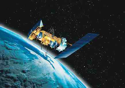
Currently, most satellites can only gather data passively, and they can’t make decisions or identify changes on their own. So, they have to send data back to Earth for processing, which can take a long time. This delay can be a problem when time is of the essence.
To tackle this issue, a group of researchers, led by Vít Růžička from the University of Oxford, took on the challenge of training a machine learning program directly on a satellite. They used a clever approach called few-shot learning, which allows the model to learn important features from just a few training samples. This made the model smaller and faster.
The researchers trained the model on the satellite itself to detect changes in cloud cover from aerial images. The model, known as RaVAEn, compresses large image files into smaller representations, making the training process super quick.
The exciting part is that this model can be adapted for various purposes, like disaster management and deforestation monitoring. The researchers believe it could be used for different tasks and different types of data. For example, it could be trained to identify flooding, fires, deforestation, or even methane leaks, all of which are crucial for combating climate change.
Performing machine learning in outer space also has the added benefit of overcoming problems caused by the harsh conditions in space, which can affect satellite sensors and require regular calibration.
In conclusion, this achievement by the University of Oxford team could revolutionize the capabilities of remote-sensing satellites, making them more efficient and powerful tools for monitoring and decision-making in various fields.
- Eurekalert