AquaWise is the core water intelligence platform developed by Vassar Labs, designed to help governments manage water systems across entire states. It is not a monitoring tool sitting on top of pipes.
It is a decision system that models how water moves—from rainfall and reservoirs to canals, cities, and farms—and helps officials decide what to do next.
Origins
Vassar Labs was founded in 2014 by Prabhat Yadav, Kshitij Kumar, and Arvind Sanka. The founders came from data science and engineering backgrounds, with early work focused on applying machine learning to public systems such as agriculture and governance.
Water became a central focus as they worked with state governments. The problem was not lack of infrastructure alone, but lack of coordinated decision-making.
Reservoir data, rainfall forecasts, groundwater levels, and usage patterns existed in silos. Decisions such as how much water to release from a dam or how to allocate supply across regions were often based on partial information.
AquaWise was built to address this gap by creating a unified system that brings together all these inputs.
On the funding side, Vassar Labs has raised capital from a mix of institutional and early-stage investors. Notably, it has received backing from Nexus Venture Partners, along with other investors such as IFC (a member of the World Bank Group). The company has also worked closely with government programs and public sector projects, which form a significant part of its growth.
What is AquaWise
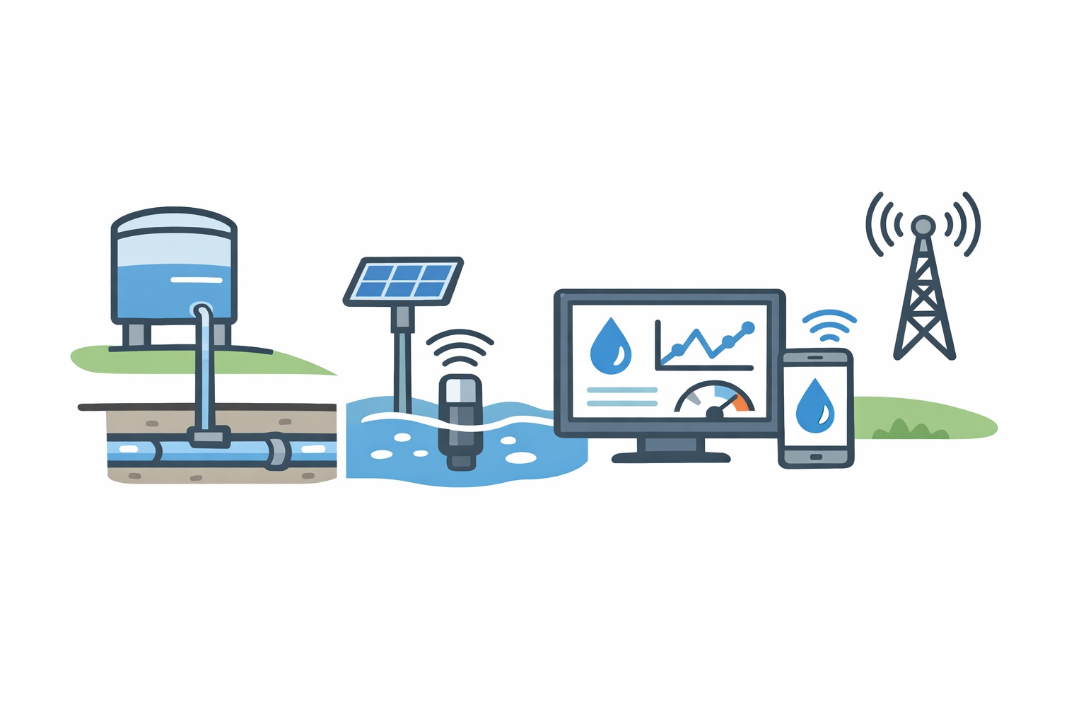
AquaWise is a software platform that creates a live, digital model of a water system. It pulls data from multiple sources. These include IoT sensors measuring reservoir levels and flows, SCADA systems controlling infrastructure, satellite imagery tracking land and water bodies, weather forecasts, and historical records.
Once this data is ingested, the system standardizes it and builds a unified view. On top of that, AquaWise runs models that simulate how water will move across the system under different conditions.
This is often described as a “digital twin,” but in practical terms, it is a continuously updated map of the real system with the ability to project what will happen next.
The platform is modular. Different applications sit on top of the same core system. For example, one module focuses on irrigation planning, another on flood forecasting, another on urban water supply, and another on groundwater monitoring.
How the system works
In a typical deployment, AquaWise connects to multiple departments and data streams. Reservoir levels are captured through sensors or existing monitoring systems. Rainfall forecasts are pulled from weather services. Satellite data is used to track land use, crop patterns, and water spread. Canal and pump data comes from operational systems.
All of this flows into a central platform. An irrigation official logging into AquaWise does not see raw data tables. Instead, they see a map of reservoirs, canals, and command areas with current water availability and projected demand.
If the system predicts lower rainfall in the coming weeks, it adjusts projections for water availability. Based on this, it can suggest how much water should be released from each reservoir and when.
In flood scenarios, the system continuously monitors rainfall and upstream inflows. It simulates how water levels will rise and which areas are at risk. Alerts are generated before critical thresholds are reached.
For cities, AquaWise tracks supply and demand across zones. It highlights imbalances, helping operators identify where water is being lost or misallocated.
Deployments
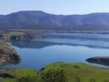
AquaWise has been deployed at large scale across multiple Indian states. One of the most cited implementations is in Andhra Pradesh, where the platform powers a statewide water resources management system. It integrates data across irrigation, groundwater, and weather systems to support decision-making at the state level.
The platform has also been used in major irrigation projects, including large lift irrigation schemes, and in flood forecasting systems for river basins. Unlike building-level or city-level tools, AquaWise is designed to operate across entire basins or states. This means it handles large volumes of data and multiple stakeholders simultaneously.
How is it different?
AquaWise differs from most water-tech products in its scope and approach. Many companies focus on specific problems such as leak detection, smart metering, or irrigation automation. AquaWise operates at a system level. It models the entire water cycle across a region.
It also does not rely on proprietary hardware. Instead, it integrates with existing sensors, systems, and datasets. This makes it adaptable to varied infrastructure conditions. Another distinction is its use of multiple data layers together. Satellite data, weather forecasts, and ground measurements are combined to generate actionable insights, rather than being viewed separately.
Global context
Globally, there is growing interest in using data and modeling to manage water systems. Companies like Xylem and Bentley Systems are building digital twins and analytics platforms for utilities. However, many of these solutions are designed for environments where infrastructure is well-mapped and data is consistent.
AquaWise operates in more complex conditions. Data is often incomplete, systems are fragmented, and supply is not continuous. This requires a different approach focused on integration and adaptability rather than precision alone.
- Our correspondent