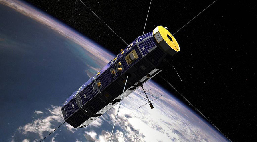
OroraTech, a world leader in space-based thermal intelligence, has successfully deployed its next commercial orbit-based networked thermal sensor.
By continuously monitoring ground temperatures, customers such as fire agencies, forestry and power companies gain real-time insight, continuous situational awareness and predictive knowledge to manage wildfires.
With the Early Access Program, customers can receive very fast fire detection of bush-sized fires and the exact location of the fire area in minutes via mobile and desktop.
In addition, work services covering critical afternoon periods allow monitoring of crisis areas if desired. Finally, OroraTech’s service provides cinematic fire monitoring and instant forecasts globally and in real time.
OroraTech successfully operated the source sensor in orbit for 15 months. Originally intended as a demonstration of the technology, it exceeded all expectations and now serves as an active fire control device for customers around the world. Currently, the sensor is actively assisting SOPFEU, the Quebec Provincial Fire Department in Canada, in managing more than 150 ongoing fires. Quebec currently relies on 21 fire watchers who cover the area three times a day when satellite observations are not available.
However, they are looking forward to the transition to satellite surveillance, which will eliminate operational problems, reduce risk for pilots and provide better situational awareness.
OroraTech offers a complete thermal intelligence package, from proprietary real-time data across its network of sensors to AI-based analytics and actionable insights. These valuable services can be accessed through the existing Wildfire Solution platform, already used by customers on six continents, or through specific APIs.
OroraTech provides this information for various industries and use cases. In addition to fire-related applications that protect forests and power lines, heat data provides valuable information for food security, drought mitigation, insurance and other applications. It is also available across geospatial platforms.
- Press release