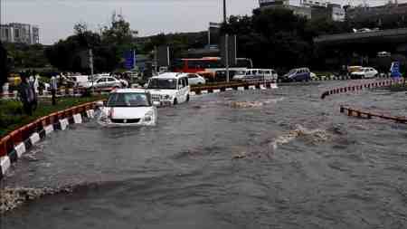
What can we anticipate in the worst-case scenario when it comes to flood risk in high-risk regions? This crucial question often relies on historical data, considering past decades or centuries’ worst flood events as the upper limit for future expectations. However, recent occurrences of “mega-floods” have challenged this approach, proving that relying solely on local data can be misleading.
A significant research project led by TU Wien (Vienna) has unveiled a more effective strategy. By analyzing data from over 8,000 gauging stations across Europe from 1810 to 2021, the researchers demonstrated that considering the entire European continent, including data from regions with similar hydrological conditions, can predict the extent of these “mega-floods.” This finding has profound implications for the design of flood protection measures.
Traditionally, flood prediction relied on statistically examining previous local events, extrapolating probabilities for future occurrences. However, the new approach suggests learning from other areas with similar climatic and hydrological characteristics, even if geographically distant. The analysis of historical flood data from multiple areas simultaneously reveals a pattern: what may seem like a surprising “mega-flood” locally is often within or close to the upper limit observed in similar regions when viewed on a continental scale.
The research team illustrated that disasters like the 2021 Rhine basin flood could have been anticipated by incorporating continental data, reducing the surprise factor. The key takeaway is the importance of an international perspective in flood prevention, moving beyond national assessments and sharing information globally to enhance preparedness and save lives.
- Press release – Vienna University of Technology


