An International Workshop on “Modern Technologies in Survey-Resurvey for Urban Land Records” was held recently at the Dr. Ambedkar International Centre (DAIC) in New Delhi.
This two-day event, organized by the Department of Land Resources, Ministry of Rural Development, Government of India, is part of the government’s efforts to modernize land records across all 28 states and 8 Union Territories under the Digital India Land Records Modernisation Programme (DILRMP). Funded entirely by the Central Government, DILRMP has already made significant progress in rural land records modernization, and the focus is now expanding to urban land records.
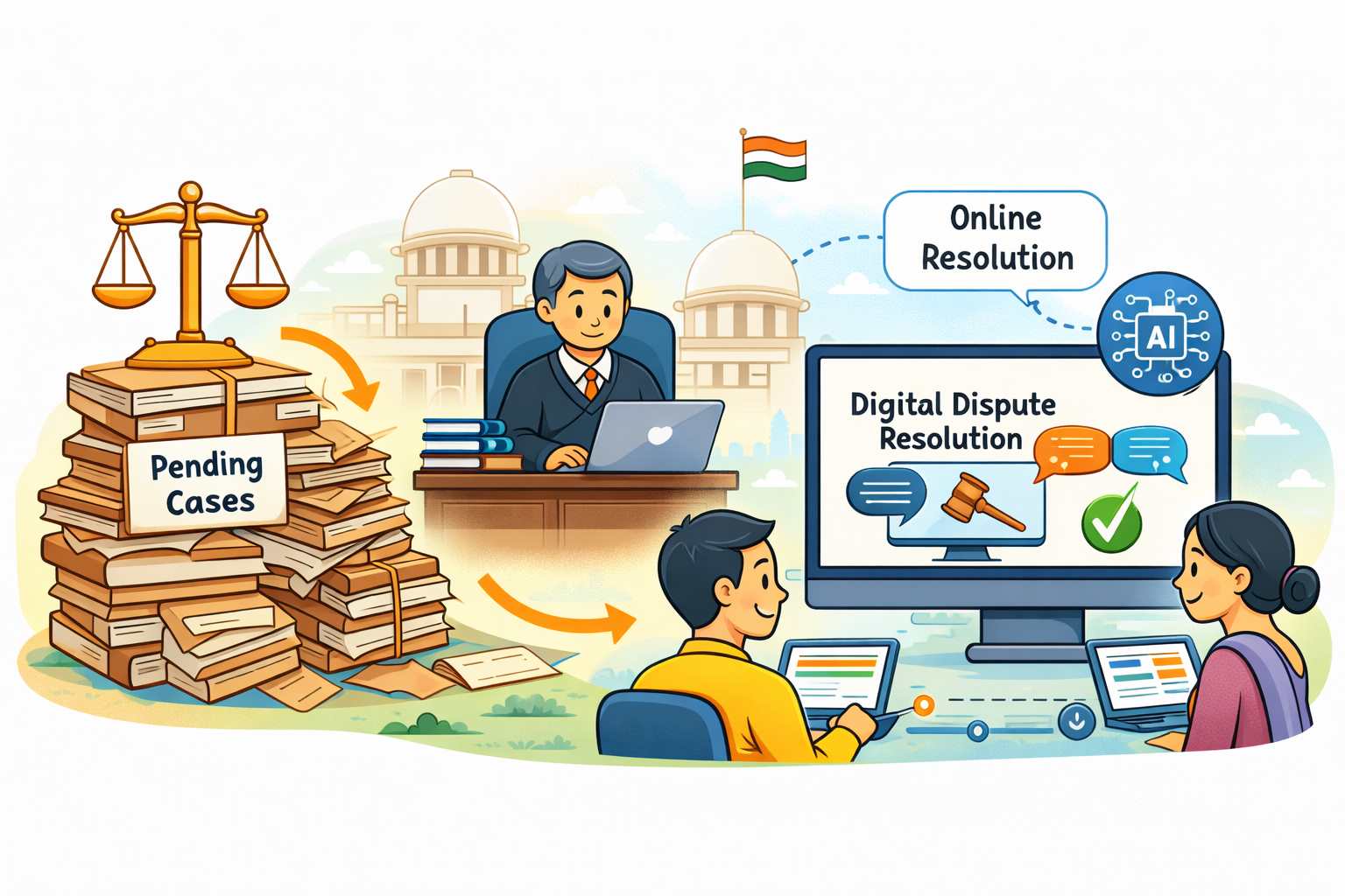
Urban land records in India face numerous challenges, including fragmentation, outdated data, and multiple managing agencies, which complicates urban planning, land management, and service delivery.
In the 2024-25 Budget, an initiative was introduced to establish an IT-based system for property record administration, digitization, and GIS mapping to streamline urban land records. This system aims to improve transparency, efficiency, property tax administration, and the financial position of urban local bodies. It also seeks to reduce land-related disputes and promote sustainable development. Building on rural modernization efforts, the Department of Land Resources is now exploring cutting-edge technologies to address these urban land record challenges.
The workshop brings together key stakeholders, including Ministries and Departments of the Government of India, Revenue and Urban Development Secretaries from all 36 States/UTs, international experts, and technology providers. It aims to showcase global best practices in urban land record modernization, highlight technological solutions, and facilitate the planning of pilot projects for selected urban areas.
The workshop will also address challenges such as standardization, data security, and capacity building while promoting collaboration among government officials, experts, and industry stakeholders. An exhibition featuring drones, aircraft, GIS, and MIS software from industry partners will be held alongside the event.
Experts from countries such as Singapore, South Korea, the UK, Spain, the Netherlands, UAE, France, the USA, Japan, and Germany will present best practices in digital land records. Leading Indian and international firms will also showcase technology solutions through an exhibition.
The agenda includes two sessions focused on case studies. The first session will cover digital land management, surveying methodologies, land record digitization, and emerging technologies for secure land records.
The second session will emphasize the use of spatial data for property taxation and urban planning, featuring discussions on the integration of aerial photography, GIS, satellite imagery, and digital tools for more accurate and efficient land management. The session will highlight case studies from various programs and departments, including AMRUT, SVAMITVA, Raipur Mapping, Guwahati Property Taxation, Jaipur Mapping, the Haryana Space Applications Centre, and the Directorate General Defence Estates.
- PIB