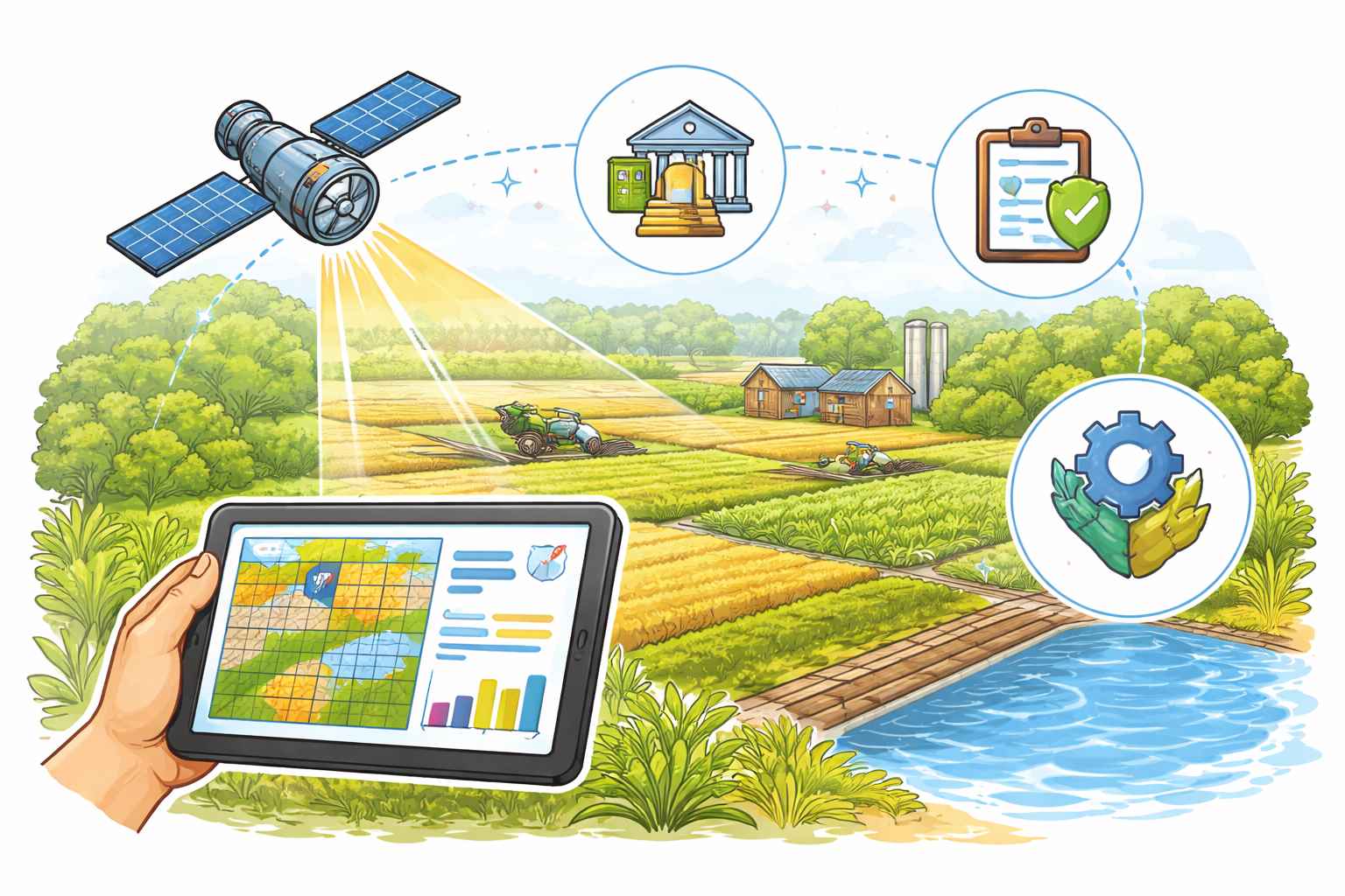
CROPIC (Collection of Real Time Observations and Photographs of Crops), one of the technology initiatives under Pradhan Mantri Fasal Bima Yojana (PMFBY), is a digital application for collection of crop field photographs, to ascertain the health of crops and identify damage due to perils.
CROPIC app aims at collection of geotagged crowdsourced photographs from farmers and field coordinators through smartphones.
The purpose of time-series geotagged photographs is cropping validation against insured crops, and crop damage assessment in case of localized calamities.
CROPIC is envisaged to empower crop insurance stakeholders with a transparent, real-time, evidence-based system for monitoring and managing crops, strengthening the effectiveness of crop insurance and disaster response, and ensuring data-driven policy decisions.
However, there is no proposal under consideration to make available public dashboard on CROPIC data.
Further, a Krishi Rakshak Portal and Helpline (KRPH) has been deployed with a single Pan-India toll free number 14447 and linked to the insurance companies database, where farmers can raise their grievances/issues. Timelines to resolve these grievances has also been fixed.
- PIB