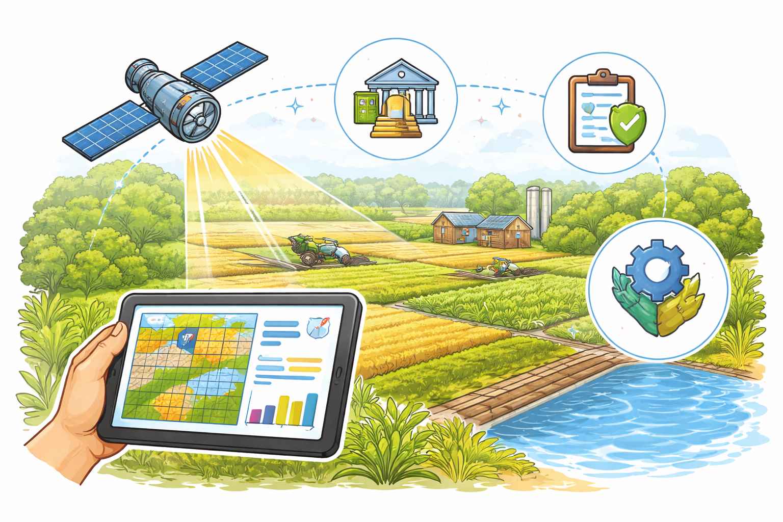
The union ministry of Agriculture has been actively incorporating space technology in the agricultural sector since the early 1980s.
During this period, the Ministry funded various projects, allowing the Indian Space Research Organisation (ISRO) to develop methodologies for crop production forecasting.
In 2012, the Department of Agriculture, Cooperation and Farmers Welfare established the Mahalanobis National Crop Forecast Centre to operationalize the space technology developed by ISRO for crop production forecasting.
Additionally, the Department operates the Soil and Land Use Survey of India, which utilizes satellite data for soil resource mapping. The Department currently employs space technology in several programs, including the Forecasting Agricultural Output using Space, Agro-meteorology and Land-based Observations (FASAL) project, the Coordinated Programme on Horticulture Assessment and Management using Geo-Informatics (CHAMAN) project, the National Agricultural Drought Assessment and Monitoring System (NADAMS), and the Rice-Fallow Area Mapping and Intensification project. These technologies are also used for implementing crop insurance schemes.
In October 2015, the Department launched the KISAN (Crop Insurance using Space Technology and Geo-Informatics) project, which aimed to use high-resolution remote sensing data for optimal crop cutting experiment planning and improved yield estimation.
Pilot studies under this project were conducted in four districts across Haryana, Karnataka, Maharashtra, and Madhya Pradesh. The studies provided valuable insights for smart sampling, yield estimation, and the optimal number of Crop Cutting Experiments (CCEs), which were then incorporated into the revised guidelines of the Pradhan Mantri Fasal Bima Yojana (PMFBY).
During 2019-20, pilot studies were conducted using space technologies through 12 agencies in 64 districts across 15 states for nine crops. These methods were validated in Rabi 2019-20 in 15 blocks across six states. The pilot studies were expanded to 100 districts in nine states during 2020-21, using seven agencies to focus on paddy crops in Kharif 2020, with continuation in Rabi 2020-21 for Rabi rice and wheat crops.
The studies employed various technologies, including satellites, UAVs, simulation models, and AI/ML techniques, to derive yield estimates at the Gram Panchayat (GP) level. Based on these findings, a technology-based GP level yield estimation for paddy and wheat crops was launched from Kharif 2023 under the YESTECH (Yield Estimation System using Technology) initiative of PMFBY.
Additionally, pilot studies were conducted for technology-based GP level crop yield estimation for non-cereal crops such as soybean, cotton, jowar, bajra, gram, mustard, maize, and guar during Kharif and Rabi 2022-23. Based on the findings from these pilot studies, yield estimation for the soybean crop has been selected for implementation under the YESTECH initiative.
This information was provided by the Union Minister for Agriculture & Farmers’ Welfare, Shri Shivraj Singh Chouhan, in a written reply in the Rajya Sabha.