Rasta AI is part of a new set of startups trying to make sense of physical infrastructure using machine learning.
Instead of focusing on high-end autonomous driving or lab-based AI models, the company is working on a simpler but harder problem in practice: understanding the condition and layout of roads in real-world environments, especially in countries where infrastructure is uneven, constantly changing, and poorly mapped.
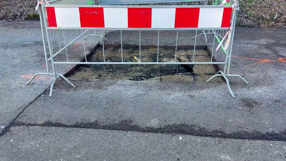
The idea behind Rasta AI emerged from a fairly practical gap. Road data in many parts of the world is either outdated, incomplete, or manually collected through surveys that take time and money. Governments and contractors often rely on periodic inspections, which means issues like potholes, damaged signage, or missing lane markings are recorded late, if at all. Rasta AI was started to automate this process using visual data and machine learning models that can interpret it at scale.
Origin
Rasta AI was founded by Rahul Andhale, an entrepreneur based in Pune with prior experience working on infrastructure-linked problems and government systems. His path into this space was not through academic AI research but through exposure to how road maintenance actually works on the ground. The idea for the company came after a near-fatal accident caused by a pothole, which highlighted how delayed detection of road damage can have serious consequences.
This experience shaped the direction of the company early on. Instead of building for ideal environments, Andhale focused on creating a system that could work in messy, inconsistent road conditions and still produce reliable data for decision-making.
Product
The product that Rasta AI has built is centered around collecting road-level imagery and turning it into structured data. At its simplest, the system works by mounting cameras on vehicles. These can be dedicated survey vehicles or even existing fleets such as delivery vans, municipal vehicles, or buses. As these vehicles move through the city, they continuously capture video or images of the road and surrounding infrastructure.
This raw visual data is then processed using computer vision models. These models are trained to identify specific features such as potholes, cracks, lane markings, road signs, guardrails, and other elements. The system does not just detect whether something exists; it also classifies the severity and location. For example, a pothole is not just detected, but its approximate size, depth (inferred), and exact GPS coordinates are recorded.
Once processed, this information is converted into a digital map layer. Instead of a simple map that shows roads, Rasta AI produces a much richer dataset that describes the condition of those roads. This can be accessed through dashboards used by city officials, contractors, or infrastructure managers.
A key part of how the system works in practice is continuous data collection. Traditional surveys happen once every few months or years. Rasta AI’s approach allows data to be updated frequently, sometimes daily, depending on how often vehicles pass through an area. This changes how road maintenance can be managed. Instead of reactive repairs, authorities can identify issues early and prioritize them based on severity and location.
The company has also worked on making the system usable in environments where conditions are far from ideal. Roads may be unpaved, markings may be faded or missing, and traffic conditions can be chaotic. The models need to perform reliably despite these variations. This is where a lot of the technical effort goes, in training models on diverse datasets that reflect real-world variability rather than clean, structured environments.
Deployment
In terms of deployment, Rasta AI has been piloted with municipal bodies, infrastructure companies, and logistics fleets. In city deployments, the system is used to monitor road conditions and generate maintenance reports. Instead of sending teams to manually inspect roads, cities can rely on data collected passively through vehicles already on the road.
In logistics, the use case is slightly different. Fleet operators use the data to understand route quality, identify problematic segments, and reduce wear and tear on vehicles. Over time, this can translate into cost savings through better route planning and fewer breakdowns.
Early deployments have shown that automated detection can significantly reduce the time required to identify road issues. What used to take weeks of surveys can be done continuously with minimal additional effort. There are also improvements in consistency, as machine-based detection does not vary from one inspector to another.
Feedback
Feedback from the market has been shaped by practical considerations. On the positive side, users value the ability to get frequent updates without deploying large teams. The visual evidence attached to each detected issue also makes it easier to validate and act on the data.
At the same time, there are challenges. Accuracy in edge cases remains an area of ongoing work. For example, distinguishing between temporary road damage and permanent issues can be difficult. Weather conditions, lighting, and occlusions can also affect performance. Rasta AI has had to continuously refine its models and data pipelines to handle these situations.
Global context
Rasta AI operates in a space that includes several other companies working on road intelligence and mapping. Companies like RoadBotics focus on road condition assessment using similar image-based approaches. Others like Netradyne use cameras and AI for driver and road monitoring, though their primary focus is safety rather than infrastructure mapping. Large mapping platforms also collect road data, but their focus is typically on navigation rather than detailed condition monitoring.
What differentiates Rasta AI is its focus on infrastructure quality rather than navigation or driver behavior. The system is built specifically to answer questions like which roads need repair, where issues are concentrated, and how conditions change over time.
Globally, this category is still evolving. In developed markets, road condition monitoring has traditionally relied on specialized vehicles equipped with sensors like LiDAR. These systems are accurate but expensive and not scalable for frequent updates. Newer approaches, including Rasta AI’s, rely more on standard cameras and machine learning, which makes them cheaper and easier to deploy at scale.
In emerging markets, the need is even more pronounced. Rapid urbanization, combined with limited maintenance capacity, means that road conditions can degrade quickly. Having a system that provides continuous visibility can change how cities manage infrastructure.
At the same time, the category is moving toward combining multiple data sources. Visual data from cameras is often supplemented with sensor data, GPS traces, and even crowd-sourced inputs. Over time, this could lead to more comprehensive digital twins of road networks that reflect not just structure but condition and usage.
- Our correspondent